So this successfully funded Kickstarter means that there are going to be a Map and Poster of how Seattle is going to end up being in a zombie post-apocalyptic scenario.
Honestly everything he has going on it is pretty damn cool as you can see from the video and what I’ve linked below. Right now there isn’t another way I can see to order the map if you missed out on the Kickstarter though I’m sure on the blog linked at the end of the quote there will eventually be more information or you can contact the artist directly through there!

The Seattle Doomsday Map is a huge painting of downtown Seattle devastated. Buildings have collapsed. Cars lie abandoned on I-5. Neighborhoods have been consumed by fire, water, and returning nature. Civilization has dwindled to a few scattered enclaves, but in those refuges, life carries on with full vigor. This vision haunts me constantly, but it also gets my imagination going, which is why I was compelled to create this image.
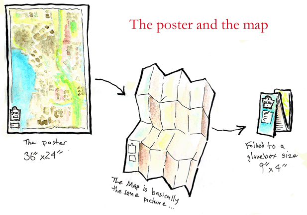
And what better way to share it than as a beautiful full-color roadmap you can carry in your backpack, stash in the glove box of your car, or hang on the wall in your compound.
It Comes with a Survival Guide
There’s no other map quite like this in the world. I’ve rendered every building in downtown Seattle and Capitol Hill in meticulous detail. Habitable areas, structures, and hazards to navigation are clearly marked. I’m also printing a guidebook, “Dee Dee’s Doomsday Guide to Surviving in Post-Apocalyptic Seattle†that provides valuable information for the visitor, such as the location of the radiation leak in Sodo, who sells fresh produce in Belltown, and what’s the worst threat to your safety in Cal Anderson Park, not to mention the locations of zombie infestations, landmines, biological hazards, underground distilleries, and roving motorcycle gangs. You can see more previews of the map and the guidebook on my blog, Year of the Dungeon.